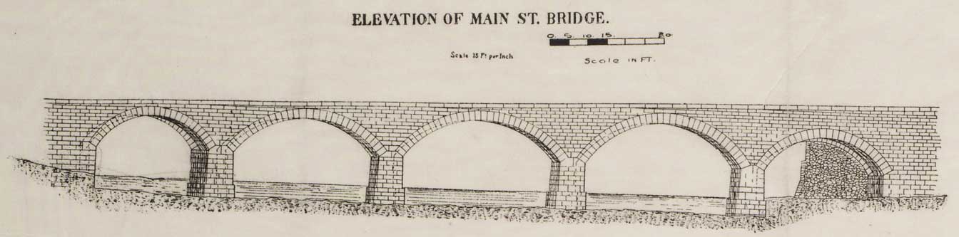
From: Map of the Genesee River in the city of Rochester from Johnson's Dam to the High Falls, 1866. Printed pen and ink drawing including sketches of Main St. Bridge and Aqueduct. 14" x 23 1/2".
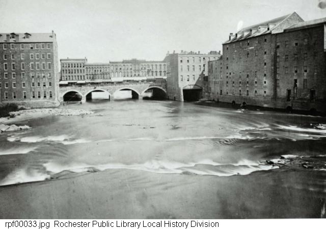
A view of the Genesee River and the Main Street Bridge, looking north from the aqueduct.
Return to the Canal and the River